- Address : Dr. Karl Lueger - Ring, Stadiongasse, Rathausplatz, Grillparzerstraße
- Region : -
- Area : 4.03
- GPS X : 16.359629631042480000
- GPS Y : 48.210475402880680000
- Project start : 1872
- Project end : 1872
- Implementation start : 1872
- Implementation end : 1873
- Website : http://
- Project Status : Completed Project
- Client : City of Vienna
- Ownership : Public
- Accessibility : Unrestricted areas
- Project Team : Rudolf Siebeck, Gustav Sennholz, Friedrich Schmidt
- Notes : http://www.magwien.gv.at/english/parks/rathen.htm
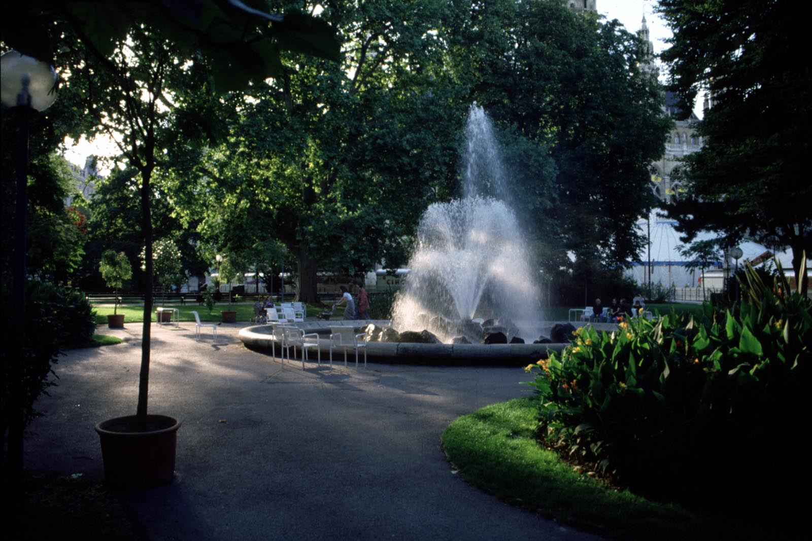
- Brief Description : The park is divided into two parts with landscape design with symmetrical partial areas and alleys northerly and southerly of the Ringstrasse left free as a connecting street between the city hall, the Ringstrasse and the Burg Theatre.
- Designer : Rudolf Siebeck, Gustav Sennholz, Friedrich Schmidt
- Project Name : Original : Rathauspark Wien
- Type : Local recreation areas
- Image Title :
�������������������������������������������������������������������������������������������������������������������������������������������������������������������������������������������������������������������������������������������������������������������������������������������������������������������������������������������������������������������������������������������������������������������������������������������������������������������������������������������������������������������������������������������������������������������������������������������������������������������������������������������������������������������������������������������������������������������������������������������������������������������������������������������������������������������������������������������������������������������������������������������������������������������������������������������������������������������������������������������������������������������������������������������������������������������������������������������������������


