- Region : -
- Area : 60,4
- GPS X : 16.408767700195312000
- GPS Y : 48.238880250732950000
- Implementation start : 1962
- Implementation end : 1964
- Website : http://www.wien.gv.at/umwelt/parks/anlagen/donaupark.html
- Project Status : Completed Project
- Client : City of Vienna
- Ownership : Public
- Accessibility : Unrestricted areas
- Project Team : Alfred Auer
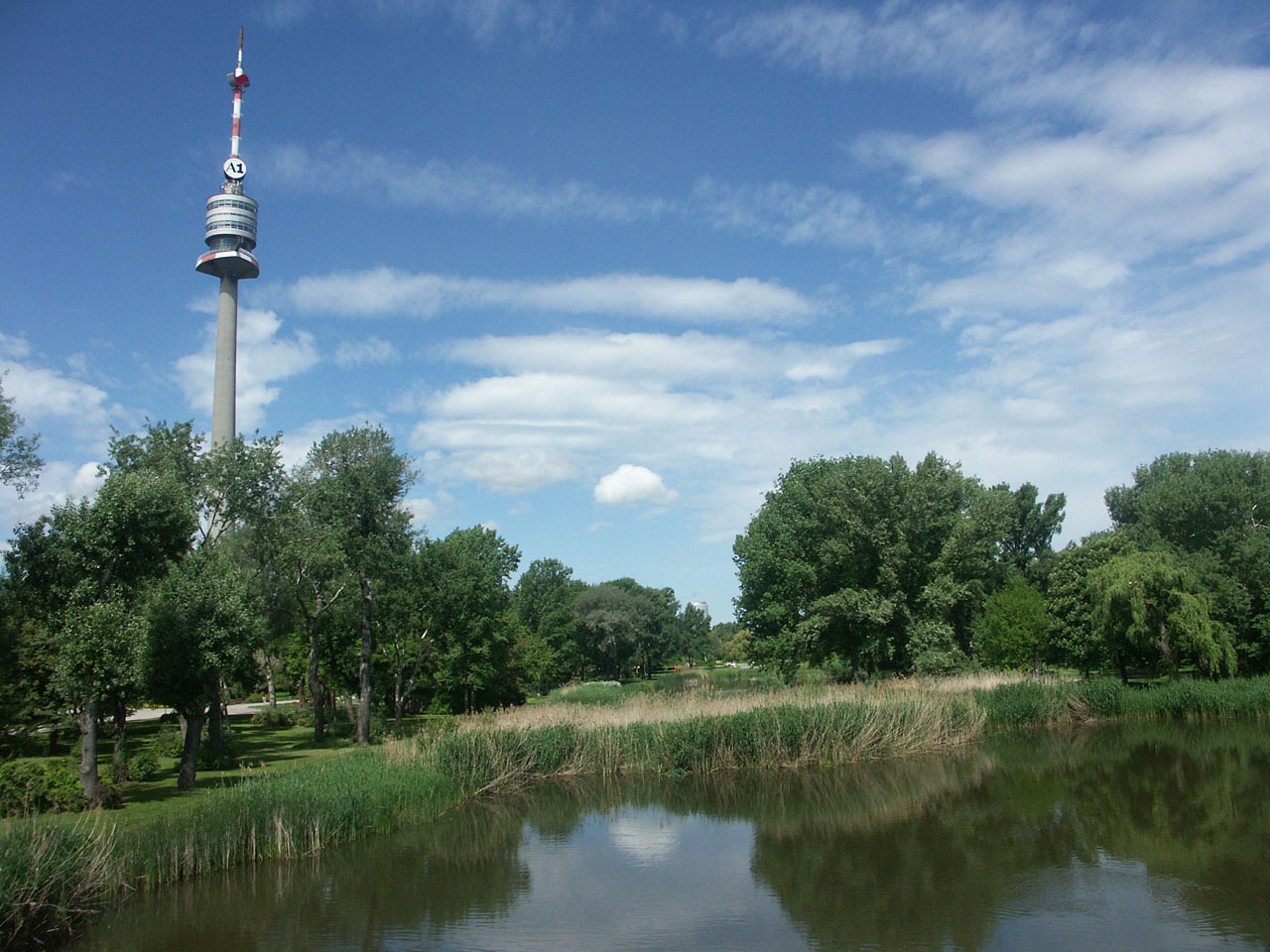
- Brief Description : The Donaupark is situated between the New and the Old Danube and has been the biggest Viennese horticulture project since 1945 created in the course of the Vienna International Horticulture Exhibition.
The diversified park landscape in the 60's style contains various flower-beds, a zoo and children's play facilities, and the 252 m high Danube tower with its outlook terraces and the restaurant in 150 m height.
- Designer : Alfred Auer
- Project Name : Original : Donaupark
- Type : Exhibition sites, Local recreation areas, Parks
- Image Title : Donaupark Tower 2
�������������������������������������������������������������������������������������������������������������������������������������������������������������������������������������������������������������������������������������������������������������������������������������������������������������������������������������������������������������������������������������������������������������������������������������������������������������������������������������������������������������������������������������������������������������������������������������������������������������������������������������������������������������������������������������������������������������������������������������������������������������������������������������������������������������������������������������������������������������������������������������������������������������������������������������������������������������������������������������������������������������������������������������������������������������������������������������������������������


