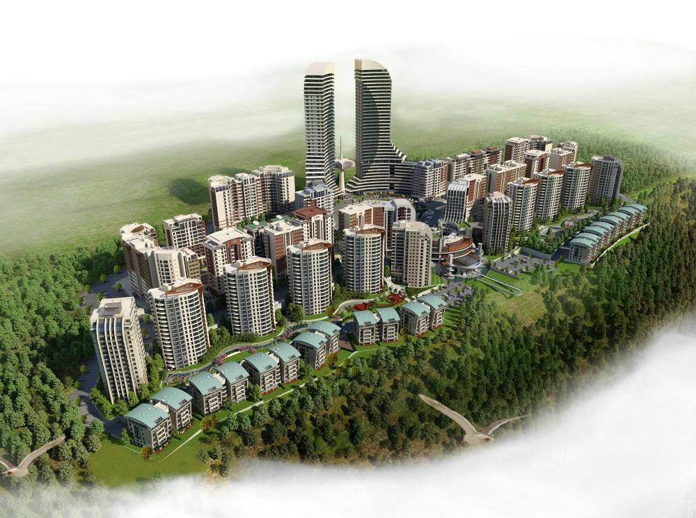
There were around 2.100 shareholders of this parcel including co-ops, companies and individuals. Actions of zoning and planning had been attempted and proved wrong several times. Due to the dramatic slope of the parcel, only 20% (300 – 350.000 m2) is physically suitable for building construction. Since the ownership was evenly distributed on such a single cadastral parcel, it was impossible to mark who owned which part. Besides, it was technically almost impossible to get all the shareholders together and have their common consent for any kind of development. This situation has remained unsolved for more than 40 years and about 600 slums, have gradually appeared on the parcel.

- Region : Yıldız/ORAN
- Area : 167
- GPS X : 32.849636077880860000
- GPS Y : 39.845581028564050000
- Project start : 2005
- Project end : ...
- Implementation start : 2005
- Implementation end : ...
- Project Status : Implemented in part
- Client : Ankara Metropolitan Municipality
- Ownership : Private
- Accessibility : Limited public access
- Project Team : Semra Teber, Buğra Kağan Esen, Özgen Özcihan
- Brief Description : Facts: Total area 167 hectares
Number of owners/ residents : 2.100
Project: 6.000 high rise residences
One large shopping mall
Total construction of 1.1million sqm.
Qualified urban landscaping - Designer : ONCU GROUP
- Image Title : Guneypark Urban Transformation Project 3D


