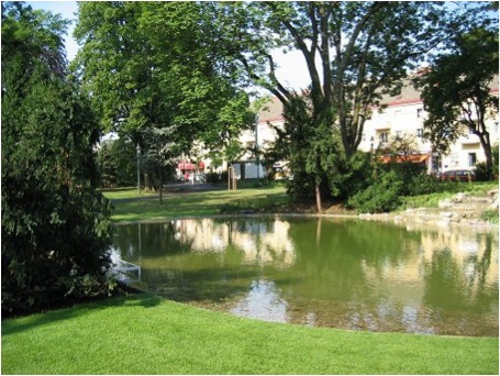
- Address : Maurer-Rathaus-Park
- Area : 1,4
- GPS X : 16.269861459732056000
- GPS Y : 48.151700142522600000
- Project end : 1930
- Implementation end : 2003
- Website : http://www.wien.gv.at/umwelt/parks/anlagen/maurath.html
- Project Status : Completed Project
- Client : City of Vienna, MA 42, MA 31
- Ownership : Public
- Accessibility : Unrestricted areas
- Project Name : Original : Maurer-Rathaus-Park
- Type : Local recreation areas, Parks
- Image Title : Maurer-Rathaus-Park
�������������������������������������������������������������������������������������������������������������������������������������������������������������������������������������������������������������������������������������������������������������������������������������������������������������������������������������������������������������������������������������������������������������������������������������������������������������������������������������������������������������������������������������������������������������������������������������������������������������������������������������������������������������������������������������������������������������������������������������������������������������������������������������������������������������������������������������������������������������������������������������������������������������������������������������������������������������������������������������������������������������������������������������������������������������������������������������������������������


