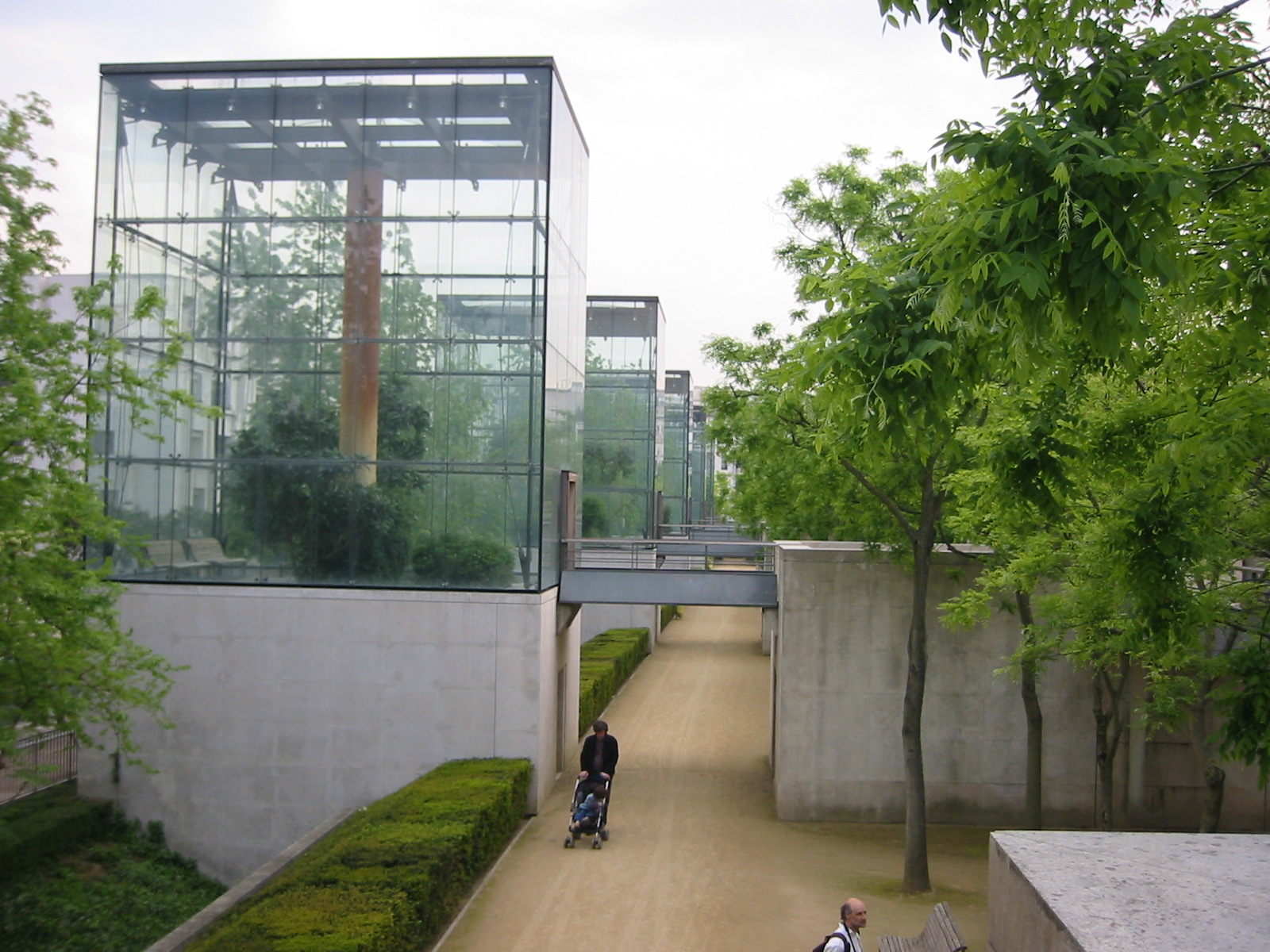
- Address : rue Balard
- Region : City of Paris
- Area : 14
- GPS X : 2.277421799999956400
- GPS Y : 48.837697100000010000
- Implementation end : 1992
- Project Status : Completed Project
- Ownership : Public
- Accessibility : Unrestricted areas
- Project Team : Jean-Paul Viguier, Jean-François Jodry, Patrick Berger
- Brief Description : Gardens of movement, gardens of standstill: symbols for the possible states of nature.
Gill Clement created in the North the serial gardens, Alain Provot designed in the South the Black Garden and the central part with channel and caves.
- Designer : Alain Provost & Gilles Clément
- Location : France, Paris, lat : 48.837697100000010000 - lng : 2.277421799999956400 address : Parc André Citroën, 75015 Paris, France
- Project Name : Original : Parc André-Citroën
- Type : Parks
- Image Title :
�������������������������������������������������������������������������������������������������������������������������������������������������������������������������������������������������������������������������������������������������������������������������������������������������������������������������������������������������������������������������������������������������������������������������������������������������������������������������������������������������������������������������������������������������������������������������������������������������������������������������������������������������������������������������������������������������������������������������������������������������������������������������������������������������������������������������������������������������������������������������������������������������������������������������������������������������������������������������������������������������������������������������������������������������������������������������������������������������������


