- Area : 6,5
- GPS X : 5.933679342269897500
- GPS Y : 51.996858047562030000
- Project start : 1998
- Project end : 1999
- Implementation start : 2000
- Implementation end : 2001
- Project Status : Completed Project
- Client : J. Matser Projectonwikkeling Hilversum
- Ownership : Public
- Accessibility : Unrestricted areas
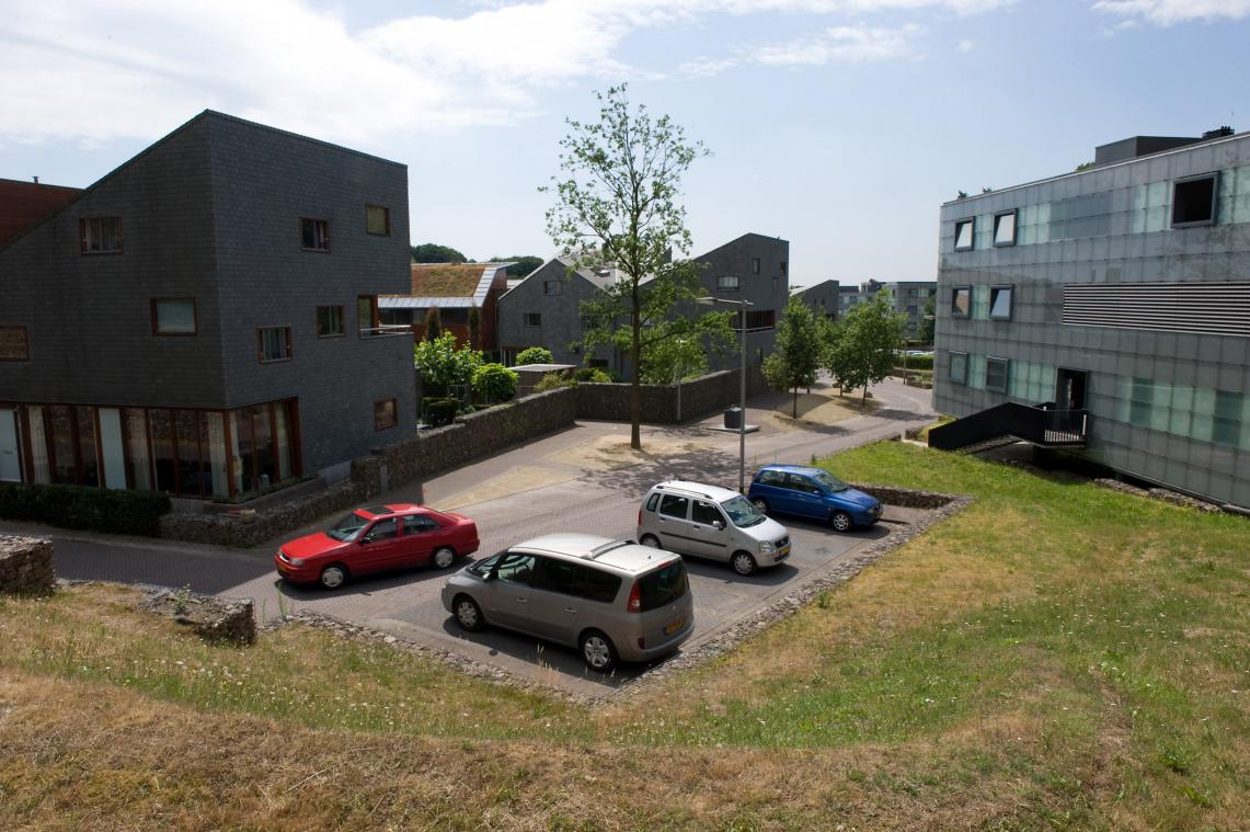
- Brief Description : The residential of Monnikenhuizen is located at a former soccer sportsground between the estates of Angerenstein and Klarenbeek in Arnhem. The undulating terrain and the existing forested plots provide an excellent opportunity to integrate a small community in the landscape setting. The residential area consists of 204 houses in a mix of appartments, terraced houses and villas. The masterplan divides the areas in two compartiments: the bigger with terraced houses on 4 levels with cul-de-sacs and a smaller one with detached and semi-detached houses. The profile of the dead-end streets is wide enough for a combination of parking spaces and turning round. The cul-de-sacs are connecte by stairs and foot paths lead to a forest path higher up. Between the compartiment a small ecological zone with trees is developed to connect the two park estates.
- Designer : Lubbers Landscape Architecture and Urban Design
- Image Title : residential area monnikenhuizen in arnhem
- Image Desc : view of one of the compartiments
�������������������������������������������������������������������������������������������������������������������������������������������������������������������������������������������������������������������������������������������������������������������������������������������������������������������������������������������������������������������������������������������������������������������������������������������������������������������������������������������������������������������������������������������������������������������������������������������������������������������������������������������������������������������������������������������������������������������������������������������������������������������������������������������������������������������������������������������������������������������������������������������������������������������������������������������������������������������������������������������������������������������������������������������������������������������������������������������������������


