- Address : Parkring, Johannesgasse, Weiskirchnerstraße, Am Heumarkt
- Region : -
- Area : 6.53
- GPS X : 16.380572400000005000
- GPS Y : 48.204769700000000000
- Project start : 1862
- Implementation start : 1862
- Implementation end : -
- Website : http://www.wien.gv.at/umwelt/parks/anlagen/stadtpark.html
- Project Status : Completed Project
- Client : Austrian Emperor Franz Joseph I.
- Ownership : Public
- Accessibility : Unrestricted areas
- Project Team : Josef Selleny, Rudolf Siebeck
- Notes : http://www.magwien.gv.at/english/parks/stadtpen.htm
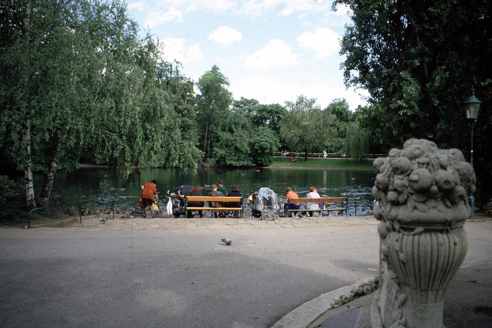
- Brief Description : The actual park was built up on the left bank of the Vienna river. This part gives the impression of a nice decorative garden.
A more shadowy park for children connected with the actual park through the iron Carolina bridge was made on the right river bank.
- Designer : Josef Selleny, Rudolf Siebeck
- Location : Austria, Wien, lat : 48.204769700000000000 - lng : 16.380572400000005000 address : Stadtpark, 1030 Wien, Austria
- Project Name : Original : Stadtpark Wien
- Type : Local recreation areas
- Image Title :
�������������������������������������������������������������������������������������������������������������������������������������������������������������������������������������������������������������������������������������������������������������������������������������������������������������������������������������������������������������������������������������������������������������������������������������������������������������������������������������������������������������������������������������������������������������������������������������������������������������������������������������������������������������������������������������������������������������������������������������������������������������������������������������������������������������������������������������������������������������������������������������������������������������������������������������������������������������������������������������������������������������������������������������������������������������������������������������������������������


